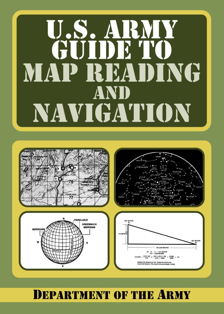
It requires no prior knowledge of these subjects. Sections include map care, comprehension of map symbols, military symbols, grid reference systems, and interpretation of aerial photographs. After the basics are covered, the second half moves to land navigation – varying terrains, elevations, day-night variations. Map and compass work is thoroughly explained. Finally, extreme scenarios – desert, mountain, jungle, arctic, and urban terrains – are all explored.
U.S. Army Guide to Map Reading and Navigation
AI Overview
Summary is AI-generated, newsroom-reviewed.
It requires no prior knowledge of these subjects. Sections include map care, comprehension of map symbols, military symbols, grid reference systems, and interpretation of aerial photographs. After the basics are covered, the second half moves to land navigation – varying terrains, elevations,
Read the full article for more on:
- Important insights and detailed analysis
- Expert commentary on current events
- Breaking developments and updates
U.S. Army Guide to Map Reading and Navigation
Speed
1x
It requires no prior knowledge of these subjects. Sections include map care, comprehension of map symbols, military symbols, grid reference systems, and interpretation of aerial photographs. After the basics are covered, the second half moves to land navigation – varying terrains, elevations, day-night variations. Map and compass work is thoroughly explained. Finally, extreme scenarios – […]
Advertisement
What readers are saying
Generating a quick summary of the conversation...
This summary is AI-generated. AI can make mistakes and this summary is not a replacement for reading the comments.


COMMENTS