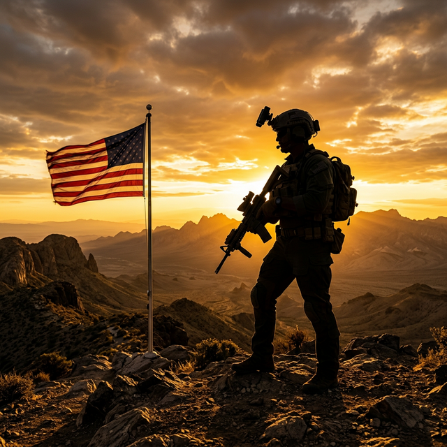
Now, in the 21st century, we are taking advantage of the power of digital technology to create highly accurate and versatile maps. Talk about a glow-up.
Tools of the Trade: Modern Military Cartography
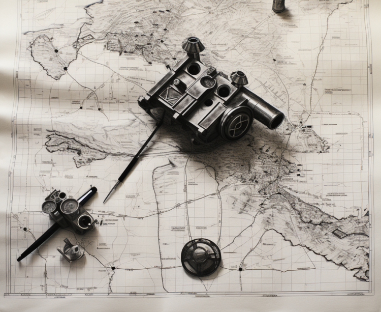
Welcome to the future—or should we say the present? We’re in the era of Geographic Information System (GIS) technology and satellite imagery. Nowadays, creating a military map is about analyzing a barrage of data using state-of-the-art software.
Today’s military cartographers use programs like ArcGIS to model the terrain, calculate distances, and predict how to use land. This digitization allows maps to be updated in real-time as satellite and drone imagery pours in, ensuring that our troops always have the most accurate information.
It’s a world far from the days of dipping quills in ink, but the essence remains the same – ensuring our forces have the best information to strategize and win.
Reading Between the Lines: Decoding Military Maps
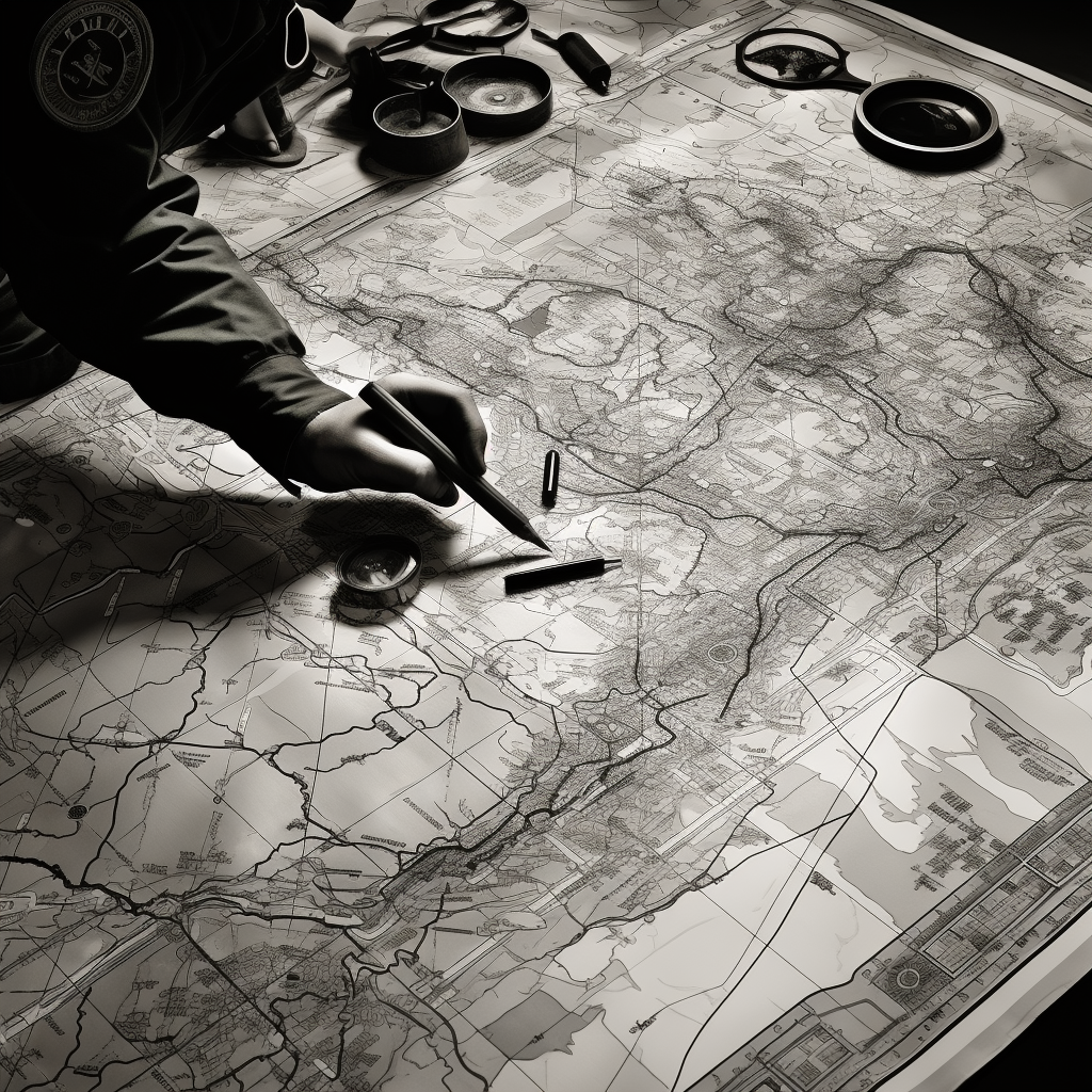
To a newbie, a military map might look like a toddler’s scribbling project—lines here, dots there, and some squiggles thrown in for good measure. But once you learn to decode it, it’s like uncovering a secret language.
Those squiggles, called contour lines, give crucial information about the landscape’s elevation. A bunch of lines close together? That’s a steep slope. The little blue lines represent bodies of water, crucial for planning troop movements and supply routes.
And those dots and crosses? They indicate manufactured structures, which could be potential targets or hiding places.
Reading a military map is like a detective novel, with each symbol a clue leading to the big reveal: victory.
The Unsung Heroes: Military Cartographers
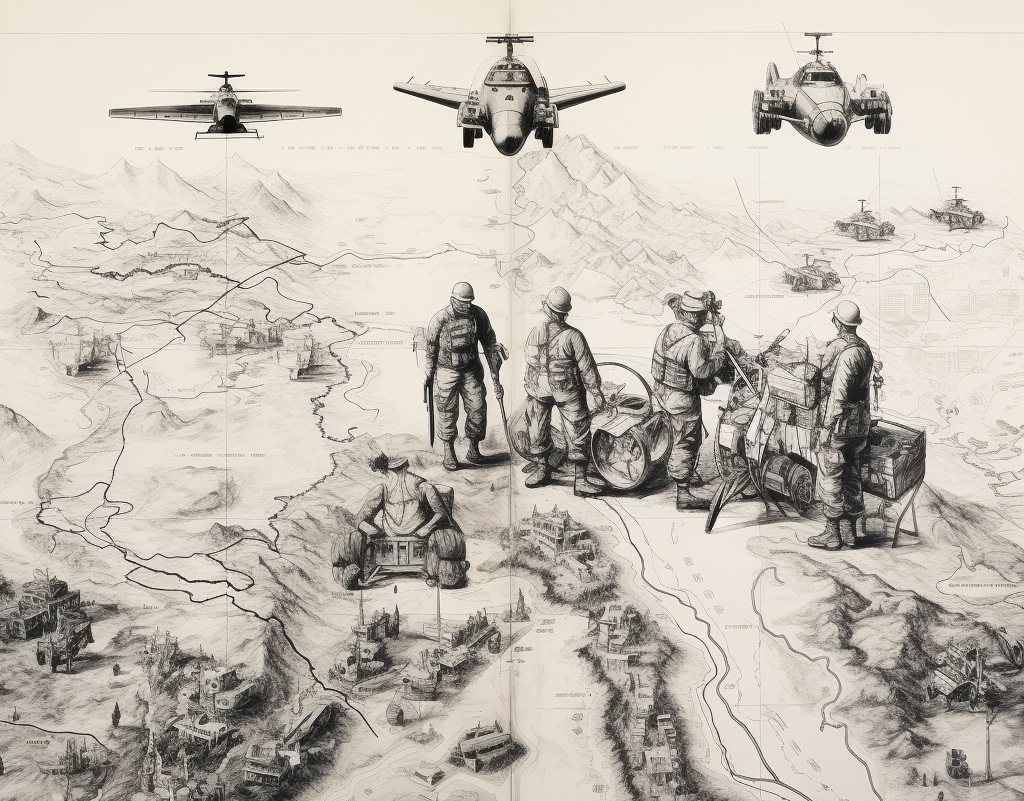
Let’s roll out the red carpet for the heroes working behind the scenes—the military cartographers. These folks weave together geographic data, strategic insights, and artistic skills to create these invaluable tools for our troops.
It’s not just about drawing. It’s about understanding the terrain, anticipating the movements of allies and enemies, and translating that into a practical, easy-to-read map.
The work of a military cartographer might not receive the visibility and recognition of a frontline soldier. But without them, our troops would be navigating blind.
Mapping the Course of History
Let this be your peek into the world of military cartography. From ancient papyrus maps to the digital wonders we have today, these strategic masterpieces have quietly shaped the course of battles and history for centuries.
Next time you see a general planning a strategy over a map in a movie, remember there’s an unsung hero, a military cartographer, behind that piece of art. Although they may not be the ones going into battle, their work is the guiding star that guides our forces toward victory.


COMMENTS