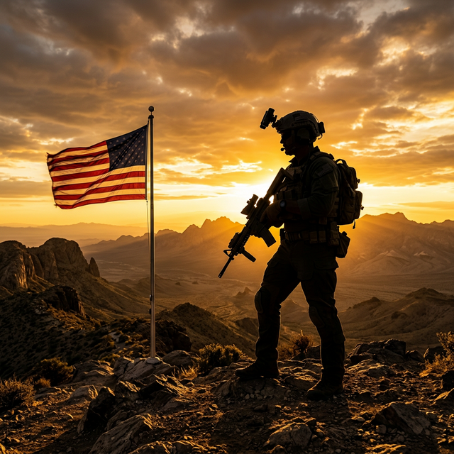
Members of the 7th Special Forces Group (Airborne) participated in overnight land navigation training at Camp Bull Simons in Florida, showcasing their skills in a critical military assessment.
Key points from this article:
The 7th Special Forces Group (Airborne) conducted overnight land navigation training at Camp Bull Simons, Florida, on April 26, 2022.
How this training enhances the operational readiness and survival skills of Special Forces members during nighttime missions.
Why effective land navigation is crucial for military operations, particularly for Green Berets who often operate in diverse and challenging environments.
Updating summary...
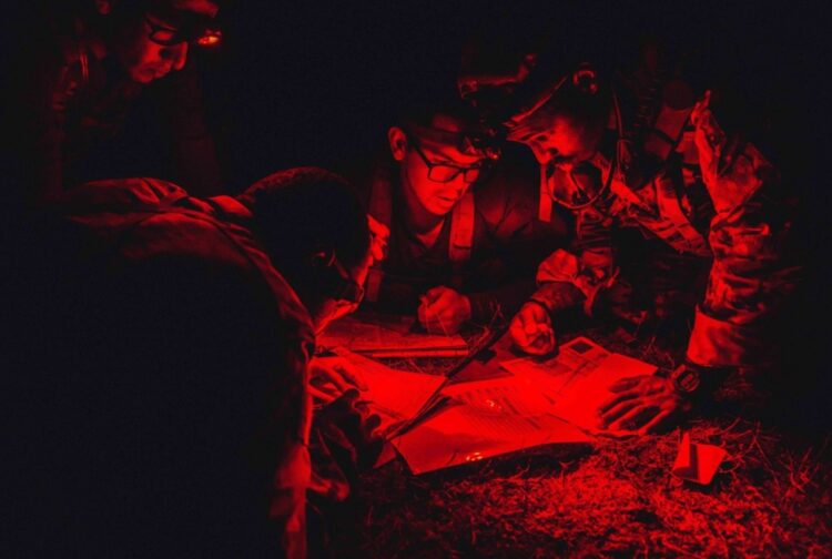
Pic of the Day: Red Light Readable
SOFREP News Team
Speed
1x
Listen
COMMENTS
Military maps are “red light readable,” allowing the soldier to plot a course without compromising his night vision.
Date: April 26, 2022
Advertisement
Place: Camp Bull Simons, Florida, USA
Members of 7th Special Forces Group (Airborne) conduct overnight land navigation during assessment training at Camp “Bull” Simons, Florida, on April 26, 2022.
US Army photo by Sgt. Carolina Sierra
Advertisement
Former Green Beret discusses night land navigation. Video from YouTube and FNG ACADEMY
Members of 7th Special Forces Group (Airborne) conduct overnight land navigation during assessment training at Camp “Bull” Simons, Florida, on April 26, 2022.
US Army photo by Sgt. Carolina Sierra
Former Green Beret discusses night land navigation. Video from YouTube and FNG ACADEMY
Advertisement
What readers are saying
Generating a quick summary of the conversation...
This summary is AI-generated. AI can make mistakes and this summary is not a replacement for reading the comments.


COMMENTS