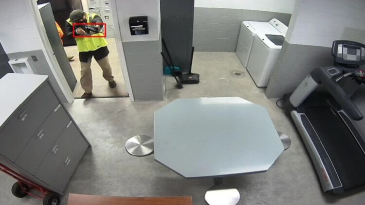
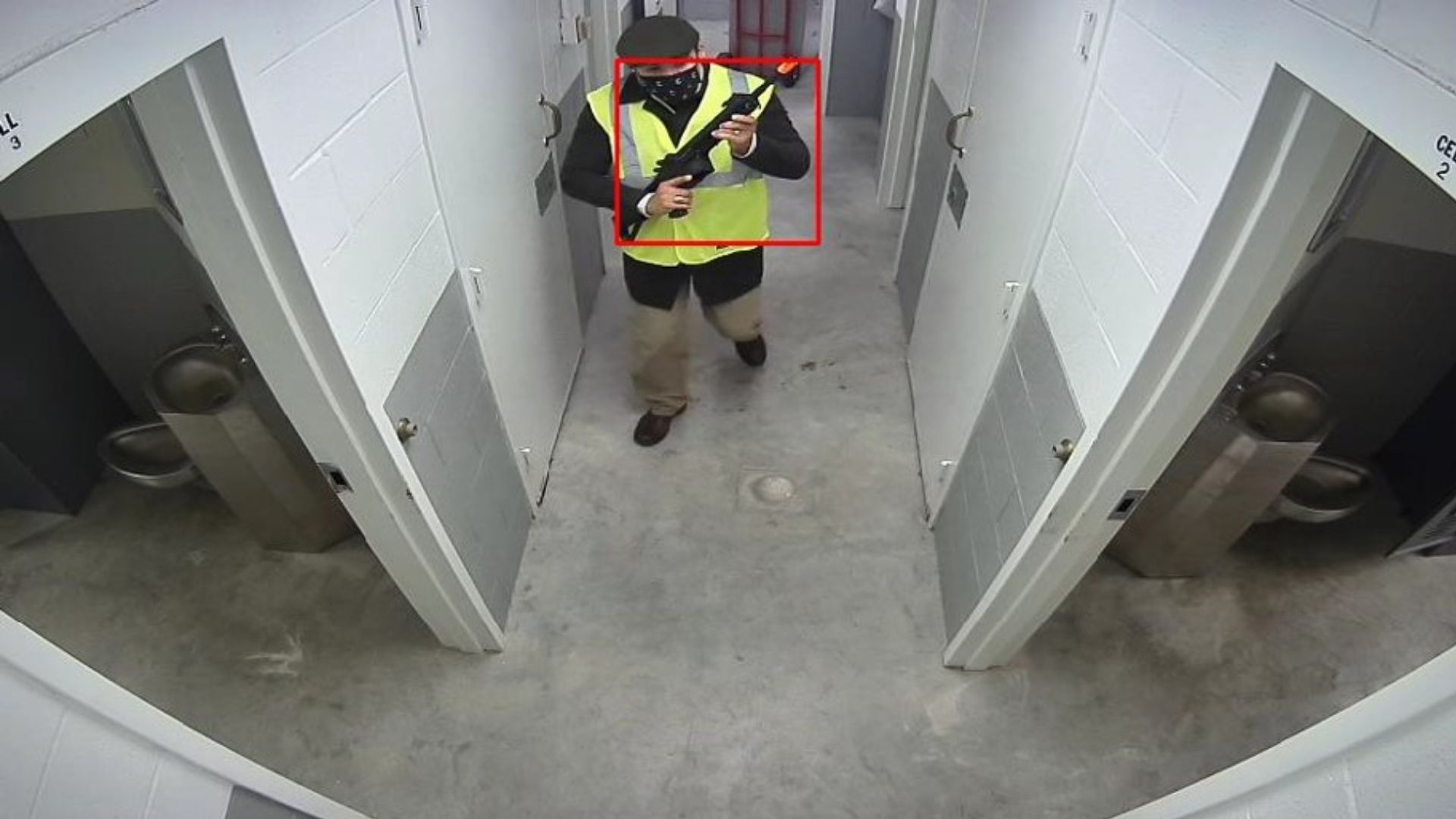
Situational awareness is a critical element in the defense and security domain, and this integrated technology will provide a significant advantage when facing unknown threats, whether in close proximity or within buildings.
The Air Force Research Laboratory, in partnership with AFWERX, has been actively working to streamline the Small Business Innovation Research (SBIR) and Small Business Technology Transfer (STTR) processes. This collaboration aims to expedite the small business experience by accelerating proposal-to-award timelines, expanding opportunities for small businesses, and reducing bureaucratic overhead in contract execution.
The “Open Topic” SBIR/STTR program initiated by the US Air Force in 2018 has paved the way for innovative capabilities like the one ZeroEyes Government Solutions is poised to provide in September 2023.
ZeroEyes Co-Founder and CEO Mike Lahiff expressed his enthusiasm about this groundbreaking endeavor, saying in a press release statement:
“We look forward to demonstrating how ZeroEyes’ AI gun detection and situational awareness platform can integrate with LiDAR technology to assist with our national defense. By merging these cutting-edge technologies, we will enable our armed forces to detect and neutralize hidden threats rapidly and effectively, giving them an unparalleled advantage against aggressors.”
ZeroEyes’ Ongoing Commitment to USAF
This latest contract marks another milestone in ZeroEyes’ journey to contribute innovative capabilities to bolster the national defense. The company has reportedly been consistent thus far in demonstrating its dedication to enhancing the security and safety of Air Force personnel and installations.
In a recent development, ZeroEyes secured a contract in July to install AI-based anomaly detectors in US Air Force body cameras. This technology promises to elevate situational awareness during traffic stops at Air Force installations, enhancing the safety of personnel and visitors alike.
Last year, ZeroEyes entered into a contract to provide AI gun detection for aerial drones at Dover Air Force Base in Delaware. This capability, driven by machine learning and internet-linked security cameras, ensures the detection of handheld weapons before shots are fired. Operators receive images, enabling them to trigger drones for response and interference protocols based on the results.
ZeroEyes Government Solutions continues to be at the forefront of technological innovation, helping the US Air Force adapt to emerging threats and safeguard the nation’s security.
~
In the evolving landscape of national defense, the integration of LiDAR and AI technology by ZeroEyes Government Solutions represents a significant leap forward in ensuring the safety and readiness of our armed forces. With this partnership, the Air Force gains a powerful tool to detect, respond to, and neutralize hidden threats, further strengthening the nation’s security infrastructure.


COMMENTS