
I replied, looking at his hand: “Ummmm . . . yeah.”
He was now starting at my identification again, and then said: “Huh? Well . . .OK.”
At the moment, I was puzzled and continued to be until I understood the nature of this checkpoint and all other interior checkpoints near the border. In that all of these checkpoints operate as, “the third layer in the Border Patrol’s three-layer strategy,” and that U.S. citizens are not required to produce any documentation. Only non-citizens are required to show their identification. Hence the CBP agents’ confusion in response to my over-compliance, yet this did not stop my standard reaction of producing identification to uniformed officials throughout my journey.
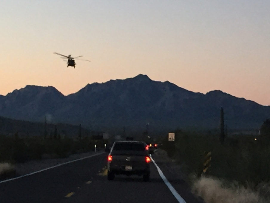
The sun was still high in the sky at this point, and the local newspapers that I picked up were not very enlightening as to the happenings on the border. Locally, my confidential informants had failed to either materialize at their designated times and places or use their phones. It was time to roll the dice, and I set forth along the fence-line.
Up and down every dirt path, paved road, and trail that headed south; this was to be a tactic for the journey. The way was rough, and I was quite happy that the vehicle was a rental as I navigated the unimproved terrain that would lead me to the Rio Grande.
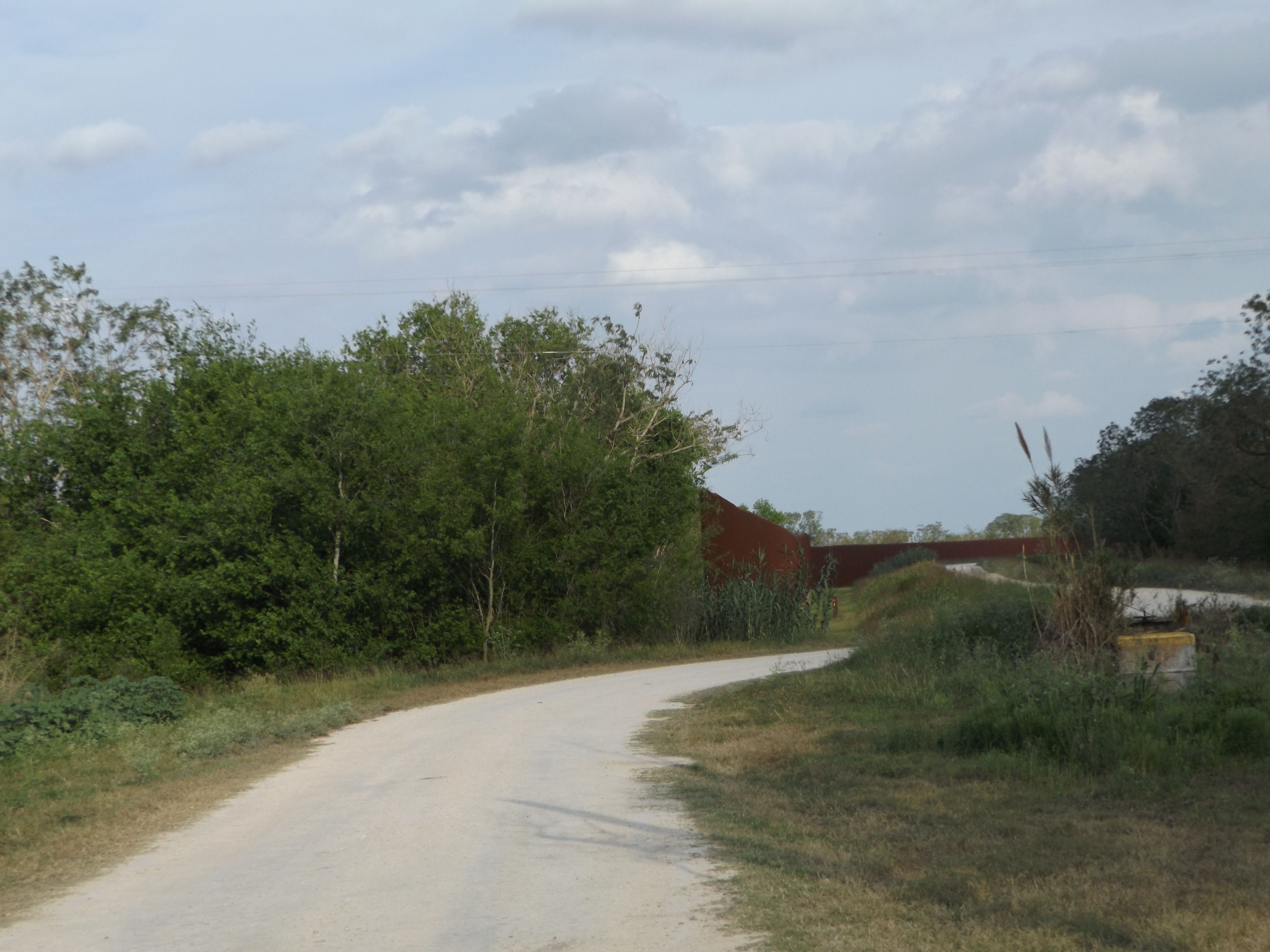
The border fence sporadically breaks as its construction-principle ties it into the topography of the land and focuses on population centers. This fence is an anti-vehicular obstacle. Just as well, any improved fence or wall will also have to be realized as being similarly ineffective, as a deterrence to personnel on foot. After all, the Berlin Wall did not, nor does the Korean DMZ halt people who are motivated from circumventing a static defense. Although, the current fence is effective to the point that it does deter unauthorized ground-vehicle traffic near population centers.
The engineers behind the planning of the fence who properly tied their obstacle into the terrain also had a grander plan. They then used the ground in the areas they could build on, in conjunction with the flatlands in those areas to predict likely avenues of approach, and offset the fence to channelize vehicle traffic into corridors. Their objective was noble and surprisingly useful to a minimalistic end.
Another issue arose when the current fence was constructed, and that is private property. Fetch the torches now; because I am hands down calling for emanate domain along the entire stretch of the border at a minimum of 500 meters into American soil.
Make claims on whatever you want, but it comes down to one or a mix of childishness, greed of selfishness. To know that any American would prevent, delay or deter safety and security protocols that could defend their nation and their fellow citizens. I’m not talking about some TSA shake-down security theater, but the border of the United States of America. A real and strategic point in the overarching defense perimeter for every, man, woman and child in this great nation and backward antics compromises it.
On the border vast stretches of land that is owned by corporations, farmers, mineral extraction firms, and ranchers remain unprotected and indefensible. Here, a healthy collection of these individuals did not allow for the construction of the border fence on their property. Further, and while some of them did, the access onto their property is sporadically restricted, limiting the freedom of movement for intercept and observation by those employed to defend our border.
Additionally, there are ongoing issues between the federal government and landowners who allow for total or restricted access – meaning that a private property owner has the legal right to limit access to federal agents. Landowners who are unhappy for whatever reason can only file a petition with a CBP Liason, and narrow the patrols on their land. Granted, that agent can still access the property, despite this request for the purposes of patrolling the border, but only on foot. This concerning practice was reiterated as a point of anxiety by nearly every federal agent I spoke to on the frontier.
Of course, there are concerns about private property and things happen, get broken or miscommunicated and the owner of the property has the right to voice their protest and demand compensation. Albeit, an inconvenience is not enough to compromise national security on the Mexican border.
Nonetheless, this is why a form of eminent domain must be instituted along the entire border. It is pockmarked with inconsistency thanks to some very, and in my opinion, unpatriotic individuals. Thanks for contributing to the national heroin epidemic.
The safety and security of the American people are what comes first, but this concept seems to have been lost on the border long ago as an advent of crime with a distinct fear of acculturalization has created holdout corridors in the perimeter.
On to the River, Cartels, and Smuggling Actions in Part III.
Featured Image – DVIDS


COMMENTS